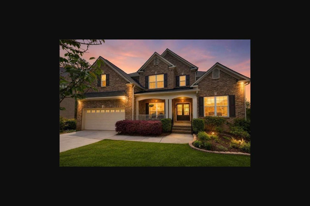
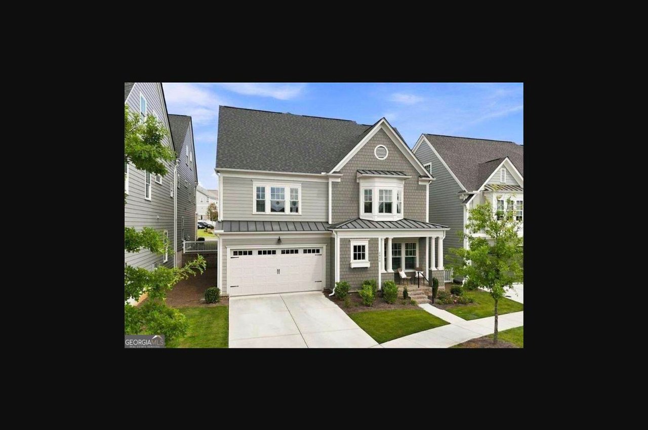
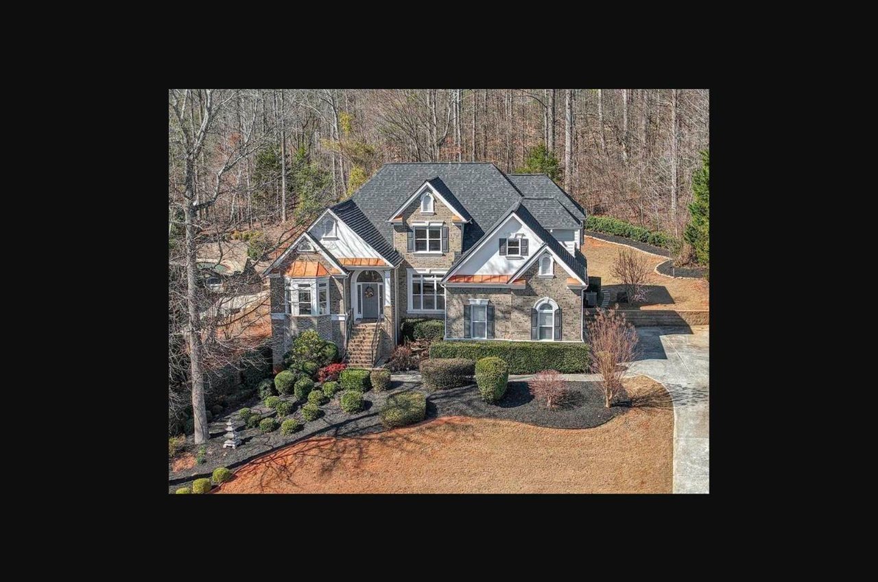
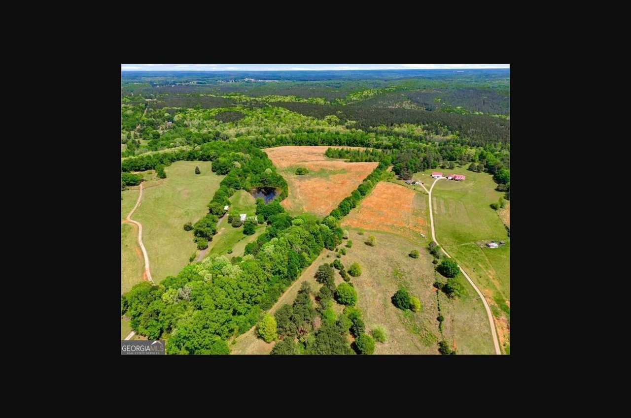
Buying a lot to build a house in metro Atlanta is a different transaction from buying a house. There is no roof to inspect and no seller disclosure about a failing water heater. What you are acquiring is a set of permissions: what the zoning ordinance allows, where setbacks let the house sit, how water arrives and how sewage leaves, and how long the jurisdiction takes to approve plans. On a teardown in Buckhead or a vacant parcel in East Cobb, Milton or Alpharetta, confirming those permissions before closing is the most valuable work in the deal.
What should I check before buying a residential lot?
Verify eight things: the zoning district and its dimensional rules, any overlay or design district, utility availability including sewer or septic, stormwater and detention obligations, floodplain and stream buffer lines, tree ordinance exposure, soil and topography, and legal access with a driveway approval. Confirm each with the planning and zoning department, a licensed surveyor, a civil engineer, a builder and your closing attorney.
A lot needs a different team than a house. A surveyor establishes the boundary and topography. A civil engineer reads that survey against the ordinance and reports what footprint the site holds after buffers, setbacks and drainage are subtracted. The closing attorney runs title and reads the recorded documents binding the parcel.
Sequence the checks by cost
Start with desk work: pull the parcel on the county GIS viewer, confirm the zoning district, read that district's dimensional standards. Then order the survey, then hand it to the engineer. Only after the engineer confirms a buildable envelope does it make sense to pay for soil borings, a septic evaluation or construction drawings.
How do I find out what I can build on a lot?
Start with the zoning district assigned to the parcel, then read that district's section of the local zoning ordinance. The district sets minimum lot area, lot width, front, side and rear setbacks, maximum height and, in many jurisdictions, maximum lot coverage. Overlay and design districts add a second layer on top. Ask the planning and zoning department in writing, and get the answer in writing.
Metro Atlanta is not one jurisdiction. A lot inside the city falls under Atlanta's zoning ordinance, administered by the Department of City Planning. Buying land in Cobb County to build means Chapter 134 of the county code and the Cobb Zoning Division. Milton, Alpharetta, Sandy Springs and Roswell each run their own ordinances.
Several jurisdictions sell a written answer, which is the document you want in the file. The City of Milton issues a Zoning Certification Letter through its CityView web portal for a $30 fee once you supply the property address and tax parcel ID. That puts the jurisdiction's own reading of the district on paper.
Overlay and design districts change the answer
Overlay districts, design review districts and historic districts sit on top of base zoning and can control materials, roof pitch, garage placement, driveway width and lot coverage. Their boundaries frequently do not follow the lot lines shown on a tax map. If the envelope you want does not fit, the path is a variance: an application, a public hearing and a board decision. Treat that as a contingency to resolve during due diligence.
Is the lot on sewer or septic?
Do not assume. Confirm in writing with the utility provider and the county board of health. Public sewer requires a capacity or availability certification before a permit issues. Where sewer is not available, the lot needs an on-site sewage system approved by county environmental health, and that approval depends on soil evaluation results, not on the seller's belief that the lot perks.
Inside the city, the Atlanta Department of Watershed Management requires a sewer capacity certification for new development connecting to the city system, published at $600 for single family and flows under 2,500 gallons per day, collected when the building permit is drawn. Fulton County starts the same way, with a Water and Sewer Availability Certification establishing that infrastructure can serve the property before formal permitting begins.
Connection is a separate cost from availability. Cobb County Water System's rate schedule effective June 1, 2026 lists a typical single family residential sewer system development fee of $2,900, a residential sewer tap installation fee of $1,100, and a $1,000 residential water line fee where the county installed the main. Fulton County's connection fee schedule, revised January 1, 2025 for the North Fulton service district, lists $3,953 for a new 5/8 inch to 3/4 inch meter install. Ask the same question about water, power and gas: how far is the nearest main, and what does an extension cost.
On septic, Georgia's rules are explicit. No person may begin physical development of a lot where an on-site system will be used without first obtaining a construction permit from the county board of health, and soil evaluations must be performed by certified individuals. Connection to a public or community sewage system is required where that system is available within 200 feet of the property line. For conventional septic tanks, tracts of three acres or more work where the percolation rate does not exceed 120 minutes per inch, and higher rates trigger a special engineering study. The Georgia Department of Public Health's Manual for On-Site Sewage Management Systems, updated in March 2026, is the reference county health offices apply. Our guide to buying a metro Atlanta home on a septic system covers how those approvals read in practice.
What does a land survey show that a plat does not?
A recorded plat is a historical document showing how a parcel was divided, with bearings, distances and easements as of its recording date. A current survey is field work performed today. It locates the actual boundary, existing improvements, encroachments and easements as used, and on a topographic survey the contours and elevations an engineer needs to design a foundation and drainage plan.
Recorded plats for every Georgia county are indexed through the Georgia Superior Court Clerks' Cooperative Authority, searchable by plat name and by book and page. That index is where the closing attorney confirms what was recorded. Our post on do you need a survey to close on an Atlanta home explains how the survey exception in a standard title policy interacts with this.
Recorded covenants on a platted lot
If the lot sits in a recorded subdivision, a declaration of covenants, conditions and restrictions likely runs with the land. Covenants routinely impose minimum heated square footage, exterior materials, architectural review committee approval, setbacks exceeding the ordinance and limits on construction timing, and they bind regardless of what zoning allows. Have the closing attorney pull the declaration and every amendment before you release a contingency.
Stormwater, floodplain, stream buffers and trees
These four determine how much of a lot is buildable. Buffers and floodplain lines remove area from the envelope. Stormwater rules can require on-site detention or runoff reduction. Tree ordinances can require preservation or a payment. An engineer subtracts all four from gross acreage to produce net buildable area, which is the number that matters.
Cobb County shows how layered buffers get. State law requires 25 feet of undisturbed buffer along the banks of state waters not otherwise mapped. Cobb adds county buffers scaled to watershed size: 50 feet for watersheds of five square miles or less, plus a 25 foot setback where impervious cover is prohibited; 75 feet above five and up to ten square miles; 100 feet above ten square miles; and 200 feet along designated reaches of Nickajack Creek. Relief from the state buffer runs through a variance process administered by the Georgia Environmental Protection Division.
Floodplain is its own inquiry. Cobb County's floodplain information explains that the Special Flood Hazard Area is the one percent annual chance floodplain, that property there carries a 25 percent chance of flooding over the life of a 30 year mortgage, and that development inside the regulatory floodway requires a no rise certification showing the project will not increase flood heights. Federally backed mortgages on property in that area require flood insurance. Ask your insurance agent for a quote before closing.
Trees are now a material line item inside the city. Atlanta City Council approved a rewritten tree protection ordinance on June 16, 2025, effective January 1, 2026. Recompense was set at $140 per diameter inch, with per acre caps from $12,500 to $35,000 depending on zoning that apply to new subdivisions, new lots of record and vacant lots meeting preservation requirements. Since June 25, 2025 the city has also required an arborist meeting with Arborist Plan Review staff before permit submission on projects affecting trees.
Soil, topography and access
Topography drives cost. A steep lot can require retaining walls, deeper foundations, imported fill and a longer driveway, and those costs land on the buyer. Ask a geotechnical engineer about soil bearing capacity and rock. Access is a permit, not a given: in Cobb County, residential driveways onto a county road must be approved by Cobb DOT, which issues a driveway approval letter after the owner or contractor submits the address and a sketch. A driveway onto a state route requires a separate Georgia Department of Transportation encroachment permit.
How long does permitting take?
Plan in stages rather than as one number. Utility and site plan review typically runs first, then land disturbance and site development approval, then the building permit, then inspections. Fulton County's development permitting procedures state that turnaround for initial review and comments should not exceed ten business days, with revisions following. Every revision cycle restarts the clock.
Fees appear at each stage. Fulton County charges a $463 plan submittal fee at initial submission and requires a maintenance bond of 15 to 25 percent of installation costs. Atlanta's Office of Buildings lists a $150 minimum permit cost plus a $25 technology fee, and the city moved to the 2024 International Codes for permit submissions on January 1, 2026, with all new applications required to comply from February 1, 2026. Buyers weighing a lot against a builder contract may find our notes on contract steps for a Buckhead or Alpharetta home bought before framing useful.
How is land due diligence different from house due diligence?
A house due diligence period is an inspection window. A land due diligence period is a feasibility window, and it must be long enough to run third party processes you do not control: a boundary and topographic survey, an engineer's site analysis, a soil evaluation or septic determination, a utility availability letter, a zoning verification letter and, where needed, a variance application. Two weeks is rarely enough.
Buyers commonly negotiate a longer feasibility period, a right to extend it for a stated fee, a right of entry for the surveyor and engineer, and a termination right if a specific approval does not issue. Some contracts condition closing on obtaining a septic permit or a sewer availability letter by a date certain. The Georgia forms and the exact language belong to your closing attorney.
Pacing has shifted. Georgia MLS data reported on September 15, 2026 put the August 2026 metro Atlanta median sales price at $400,000, down 4.8 percent from July, with 22,897 active listings, up 3 percent from August 2025. More standing inventory generally means less pressure to shorten a feasibility period in order to win a contract. That is analysis of current conditions, not a forecast.
FAQ
Can I rely on the seller telling me the lot is buildable? No. A seller's statement is not a determination. Zoning, setbacks, buffers and utility availability come from the jurisdiction and the utility provider, and each should be confirmed in writing during your due diligence period.
What happens if the lot does not perk? If soil evaluation results do not support a conventional system, the county board of health will not issue a construction permit for that design. Options can include an alternative system, a different footprint or bedroom count, or connection to public sewer where one is available.
Who decides how much of the lot I can cover? The base zoning district sets lot coverage and setbacks, an overlay district can tighten them, recorded covenants can tighten them further, and buffers and floodplain remove area on top of that. A civil engineer reading all four against a current survey produces the net buildable area.
Conclusion
Land rewards process. The lots that become good projects are the ones where the buyer confirmed zoning and overlays in writing, ordered a survey early, had an engineer subtract buffers, floodplain and stormwater obligations from gross acreage, priced tree recompense and utility connection fees as real numbers, and negotiated a feasibility period long enough for local timelines. Route the technical questions to the planning and zoning department, a licensed surveyor, a civil engineer, a builder and your closing attorney. If you are evaluating a teardown or a vacant parcel in metro Atlanta, contact The Agency Atlanta for a conversation about your lot and how to structure the contract around it.